Thermal Imaging Drones: What They Do and How They Work
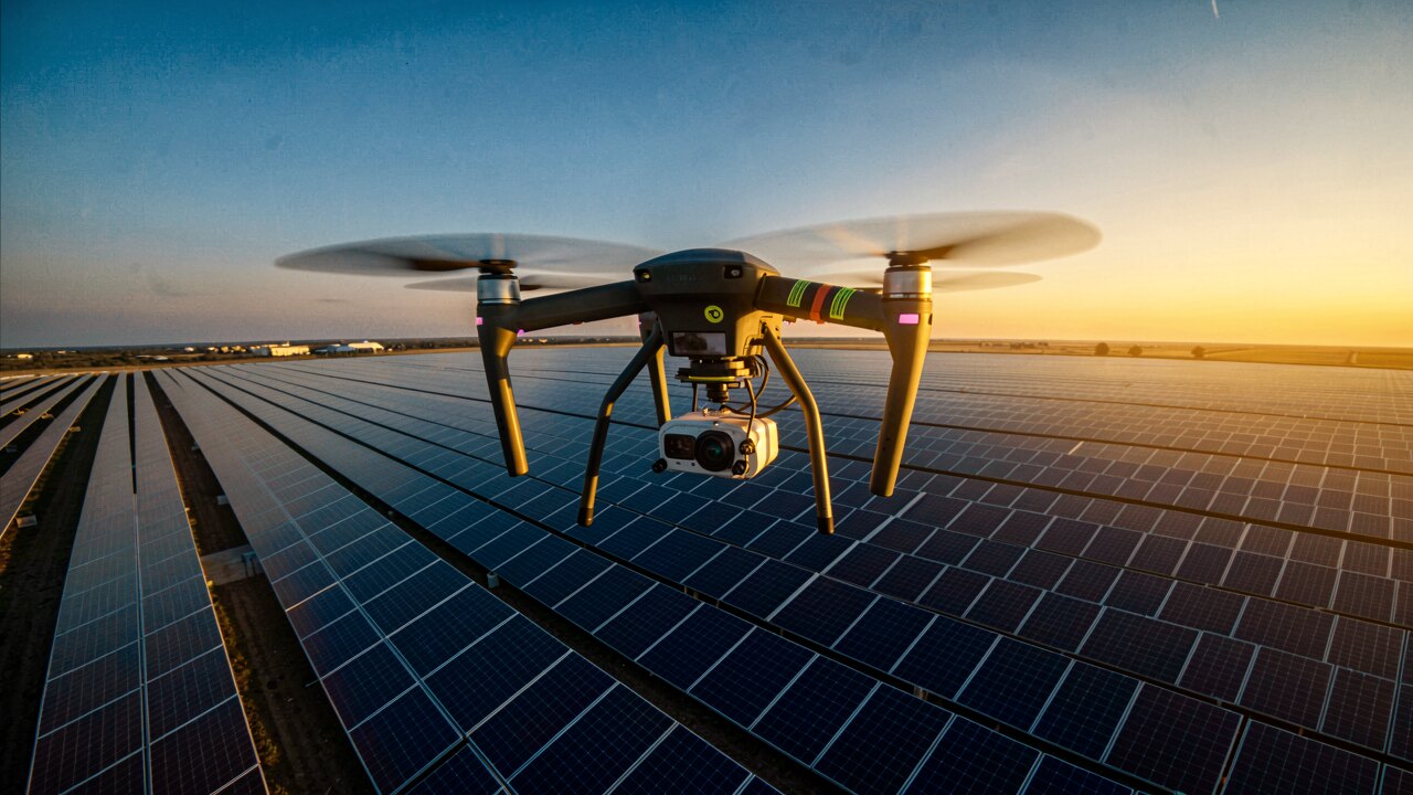
A thermal imaging drone carries an infrared (IR) camera that maps surface temperature instead of visible light, so heat differences become visible from the air. On solar plants this is used to check every module for faults quickly — without scaffolding and without shutting the system down.
It flies a camera that reads infrared radiation and turns temperature differences into a color image. Anything running hotter or cooler than its surroundings stands out — a defective solar cell, a blocked airflow, or an overheating connection appears as a bright or dark spot long before it is visible to the eye.
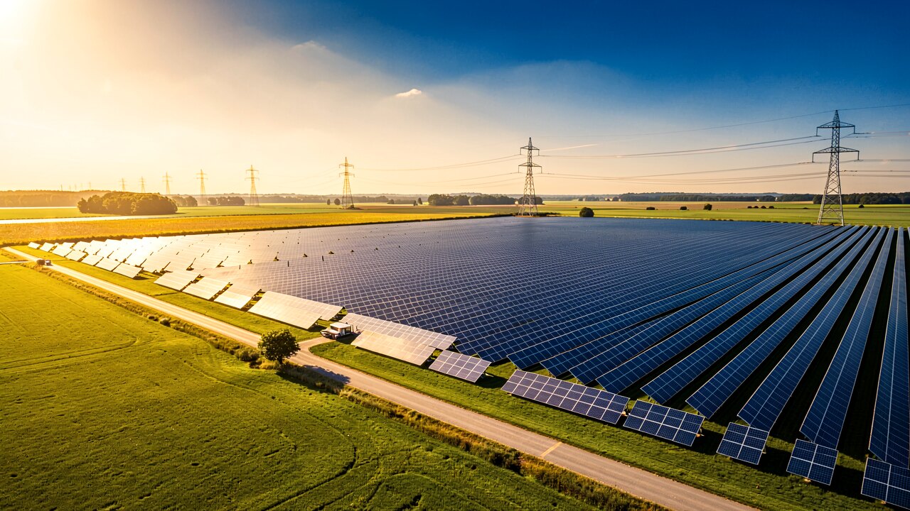
The drone flies over the target area (for example a PV array) capturing IR images of each module or section. Defective cells, hotspots, deactivated strings and soiling show up as distinct temperature patterns. Because it works from the air, every module can be checked in a short time — no scaffolding, no plant standstill.
Typical findings include defective modules, hotspots, bypass-diode faults, deactivated strings and soiling. These are visible as temperature anomalies in the IR image, often long before they show up as a loss on the electricity bill.
The raw IR images are only the first step. Stromfee combines your thermal images with your live yield data to pinpoint defective modules, hotspots, bypass-diode faults and power losses — per string and per module — including a damage estimate in euros. If you already have drone footage, a report is delivered within 5 working days.

It is most useful when you suspect underperformance but cannot see a cause, when the array is large or hard to reach, or as a routine check to catch faults early. Flying is fast and non-invasive; the real value comes from interpreting the temperature patterns correctly against actual production data.